Signed in as:
filler@godaddy.com
Signed in as:
filler@godaddy.com
.png/:/cr=t:1.24%25,l:0%25,w:100%25,h:97.51%25/rs=w:388,h:517.3333333333334,cg:true)
The Thames Boating Certificate Logbook which gives full details of the ATYC Boat Handling course available to Member Clubs. This is a Thames based course which can be undertaken at Club level at no cost to the member clubs. This handy PDF booklet includes all the course details and the practical exercises that will be covered by the course instructors. Successful completion of the written and practical examination by all candidates will result in the award of a burgee and a suitable decal.

The River Thames Book, now in its 8th edition, is the best-selling guide to the non-tidal Thames from Teddington to its source in Gloucestershire. This complete guide covers the Barrier to Cricklade with the River Wey, Basingstoke Canal and the Kennet & Avon Canal to Great Bedwyn. Chris Cove-Smith''s updated text describes the navigation with support of clear and detailed mapping. The River Thames Book also lists in exhaustive detail the facilities to be found along each section of the navigation.

The River Thames is an often undiscovered haven of stunning scenery, wonderful wildlife and brilliant natural beauty. As well as the famous stretches passing through our biggest cities and towns, there is a hidden side to the river - wild and natural, but surprisingly accessible. This guidebook, compiled by the two major Thames charities, contains a wealth of information on over 150 of the best places to explore the real Thames wilderness, along with enjoyable walks and activities along its course.

This popular map of the non-tidal Thames from its the source above Cricklade to the entrance of the Grand Union Canal at Brentford below Teddington Locks is convenient in any cockpit and is the ideal companion to Chris Cove-Smith’s River Thames Book. the publication contains full information on boating facilities including mapping, as well as all the essential details on restricting dimensions, locks and bridges. Also shown are pubs, the Thames Path and large-scale insets of the River Wey junction and the entrance to the Grand Union Canal.

This 3 part small book is intended principally as a help to leisure boaters who are not familiar with navigating the Thames through central London. Part 2 of this publication may well help even the most seasoned of watermen. The entire length of the river covered starting at Margaret Ness in the east all the way to Putney Bridge in the west. This is the area for which a local knowledge endorsement is required for most commercial skippers. It is a very busy part of the Thames, with every conceivable type of craft likely to be encountered.

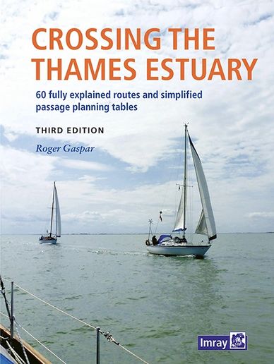
The Thames Estuary is a complex and challenging area with narrow channels, shoal waters, determined tides and shifting sands, plus busy shipping traffic, three major ports and six wind farms in and around it. But its waters are also fascinating, interesting and have a wide selection of destinations to enjoy. This book describes 60 safe, viable and feasible routes between the Kent, Essex and Suffolk rivers for safe passage and wholly new time-planning tables which are now simplified with significantly additional and readily available information.